Reiseliteratur - Wales 1:250.000
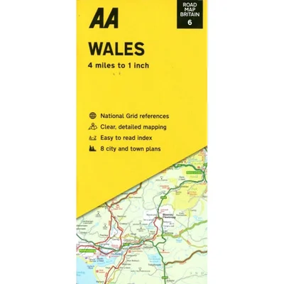
Wales 1:250.000
Art. nr.: 9780749584115
Lieferzeit: 3-4 Tage
11,90 EUR (inkl. MwSt., exkl. Versandkosten)
Beschreibung
AA Road Map Britain 6 - Straßenkarte (Großbritannien: England)
Wales
- scale 1 : 250 000 (4 miles to 1 Inch)
- folded map
- Fully updated speed camera locations, plus speed cameras with speed limits shown
- Clear place name index
- 8 city and town plans
- Caravan & camping sites are pinpointed on the mapping
- National Parks and places of interest are also highlighted
- National Trust, English Heritage, Scottish and Welsh Heritage sites shown
With up to date, accurate mapping from the experts at the AA, Road Map Wales combines a clear design and an easy-to-read scale with road details to make sure you never lose your way.
Ideal to keep in your car for long journeys, each map includes information on toll points, service areas, road numbers, motorways, dual carriageways and wide and narrow local roads. National Parks, English Heritage Sites, and places of interest, such as caravan and camping sites, are also highlighted.
Edition 2024